Reporting by Victoria E. Freile, New York Connect Team/Rochester Democrat and Chronicle
Meteorologists expect to see snow in New York this week, with up to 5 inches possible on some of the state’s highest terrain Thursday into Friday.
Winter weather advisories are in effect for parts of the Adirondacks and Catskills, where the heaviest snow is expected at higher elevations, according to the National Weather Service in Albany.
Rain will be the main form of precipitation initially before mixing with and changing to snow at higher elevations. Some valleys could see wet snowflakes late Thursday night into Friday morning, with little accumulation expected.
Here’s where snow could accumulate and when the advisories are in effect.
Where could New York get up to 5 inches of snow?
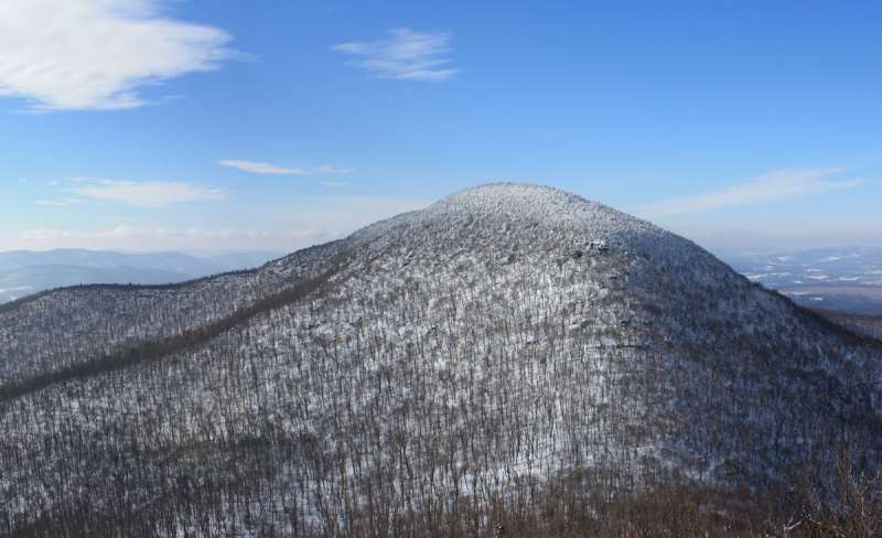
The greatest snowfall is expected across higher terrain in the southern Adirondacks and eastern Catskills.
In Hamilton and northern Warren counties, a winter weather advisory runs from 10 a.m. Thursday through 10 a.m. Friday. Up to 3 inches of snow is expected, with isolated totals of 3 to 5 inches possible on the highest mountain peaks.
The advisory includes Long Lake, North Creek, Johnsburg, Warrensburg, Hague and Bolton Landing. Slippery roads are possible.
How much snow could the Catskills get?
A separate winter weather advisory covers elevations above 1,500 feet in western Greene and western Ulster counties from 7 p.m. Thursday through 1 p.m. Friday.
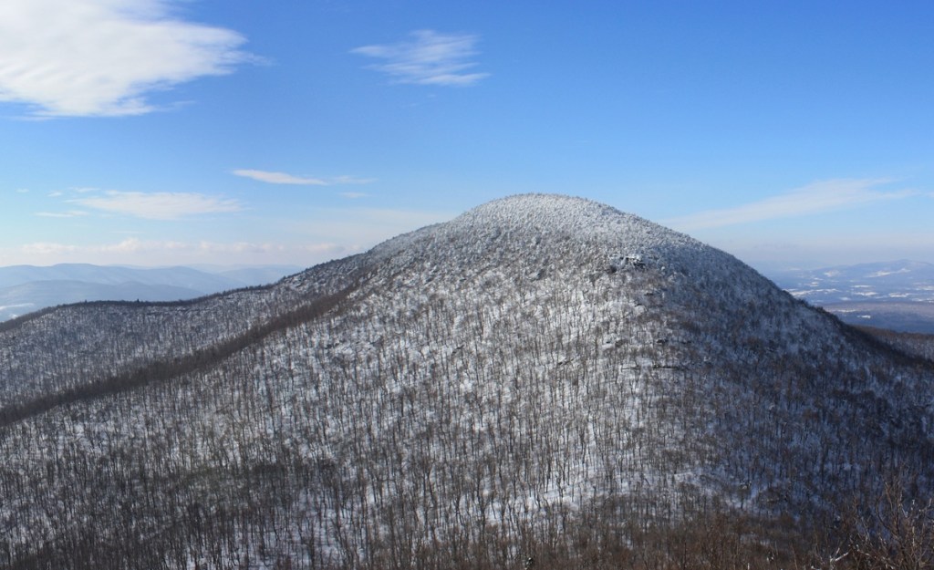
Up to 4 inches of snow is expected. The advisory includes Hunter, Windham, Tannersville, Prattsville, Woodstock, West Hurley, West Shokan, Sundown, Ellenville, Kerhonkson and Napanoch.
Slippery road conditions could affect travel.
When will it snow in New York?
Rain will initially dominate before gradually mixing with snow Thursday. Snow is expected to become the main precipitation type across higher elevations Thursday night, according to the National Weather Service forecast.
Valley locations could see wet snowflakes late Thursday night into Friday morning. A coating to an inch is possible there, mainly on grassy surfaces.
Is all of New York getting snow?
No. The greatest snowfall is expected across higher elevations of eastern New York.
The potential for 5 inches is limited to isolated higher mountain peaks. Hamilton and northern Warren counties are generally forecast to receive up to 3 inches, while elevations above 1,500 feet in western Greene and western Ulster counties could receive up to 4 inches.
The National Weather Service in Binghamton was also displaying a winter weather advisory early Thursday for portions of its forecast area.
Weather alerts and snowfall forecasts can change as the system develops. Travelers should check the National Weather Service for the latest advisories and local forecasts before heading out Thursday or Friday.
This article originally appeared on Rochester Democrat and Chronicle.
Related: What comes next for New York data centers amid environmentalist pushback